Friday 11 July 2014

Tiziano's Pathways

Tiziano's Profile

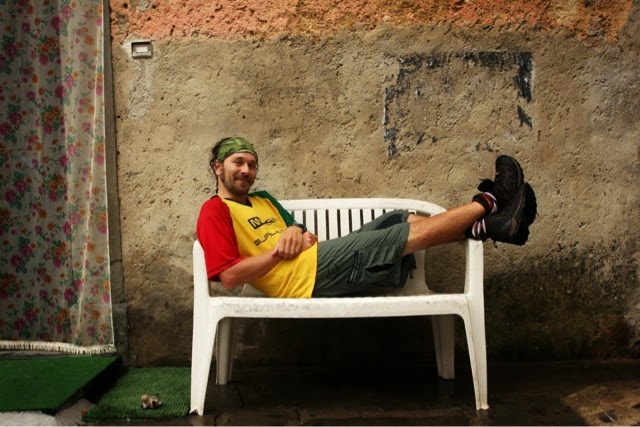
Name: Tiziano Davini
Lives: Lammari (Lucca)
Background: Tiziano is 36 years and a qualified Telecommunications Engineer but his passion has always been mountain biking and trekking in the fresh open air of the mountains especially around his region of Tuscany. He is a passionate photographer with his own photography website displaying beautiful landscapes and panoramas from his many hiking and cycling excursions. 
Visit: www.tizianophoto.com 

Tiziano escorted me on a magnificent journey amongst the abundant spring daffodils to Monte Croce, a 5 hour unforgettable journey. Here are his favourite hikes and cycle routes. 


Favourite trekking Path

Monte Prado (Appennino) Highest Tuscany Peak
Departure and arrival point: Passo Forbici
Ascent: 650 m;  5/6 hours
Difficulty: medium
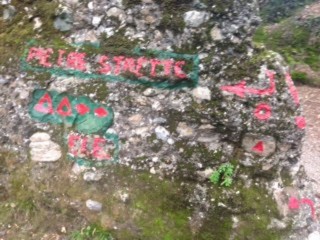
Pathway is signposted by CAI as 00 & 633 (Sentiero CAI: 00, 633)
Description and points of interest:  This route is confined between Tuscany and Emilia Romagna. The first section follows sentiero di crinale 00 with many marvellous views over Garfagnana, the Alpi Apuane and the Tuscan Emiliano Appennine. After about 2 hours you reach Monte Prado, having the highest Tuscan peak with an elevation of 2054m. From here you descend to Lake Bargetana, Lama Lite and the magical forest of Abetina Reale before rising again to Passo Forbici. The course passes two refuges, Rifugio Battisti and Rifugio Segheria.


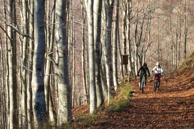
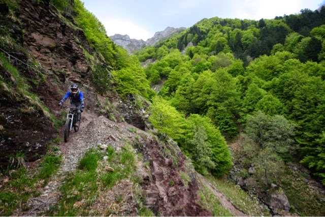
Favourite Mountainbike Path 

Val Fegana
Departure and arrival point: Tereglio
Ascent: 1200 m 
Distance: 30 km
Difficulty: medium
Pathway is signposted by CAI: 38, 9
Description and points of interest: Departing from the beautiful borgo of Tereglio you ascend 500m in the Val Fegana, a valley beside the Serchio river. You follow along the road and then left parellel to the valley for 4km after which you descend on a single track in the nature reserve of the Orrido di abortive. This is a canyon that can also be visited on foot with a € 2 entrance fee. From Ponte a Gaio you ascend on via Principale up to Rifugio Casentini within 6 km. Continuing to Rifugio Casentini  (1280 m) there is food and fresh spring water from the fountain. After the Rifugio the pathway becomes stone and rises 7km to Foce al Giovo along via del Duca. This is an ancient road connecting Modena with Lucca. Foce a Giovo is 1674 m altitude with a beautiful panorama including Monte Rondinaio and the whole Taglione valley. After enjoying the gorgeous view you descend on the same road that you arrived on until you reach Ospedaletto where you turn right into sentiero 38. This is a beautiful and peaceful pathway. There are some difficult and exposed areas so care is needed whilst still enjoying the beautiful scenery over Val Fegana. After 4km the path reaches Rifugiani on a stony path. We follow right, uphill for 200m then take Sentiero 9 to the left that, initially, rises to Focedi Cavallaia and then descends to Tereglio along a beautiful mule path. 


Contacts:

Telephone. 3396522920
E-mail: davinitiziano@gmail.com

Tiziano will be thrilled to accompany and guide tourists and passionate hikers or mountain cyclists along these and many other pathways that suit your needs and level of capability finding Rifuges and hotels in the mountains to complete your stay. 


Sunday 6 July 2014

Hiking in Portofino National Park: Santa Margherita to Camogli


Portofino, world renowned for its beauty, is thought by many to be the jewel of Liguria. A tiny village in a colourful cove, its waters are a popular resting place for luxurious yachts and flashy cruisers. The village is a colourful cluster of buildings set in front of luxuriously green mountains. These mountains and the waters from Santa Margherita to Camogli, form the Portofino National Park. Within its mountains and valleys are a network of hiking paths reaching to the summits and around the cliffs and valleys. With a wide variety of options to choose from, two wonderful half day hikes are:
1/ Santa Margherita to Camogli; and 2/ Portofino to San Fruttuoso


1/ Santa Margherita to Camogli

Santa Margherita is a much larger tourist town, bustling with motorbikes along the coastal road and full of lively markets, restaurants, food stores and fashion shops. It's colourful, frescoed buildings almost look like stage props and its port is jam-packed with boats of every size. Artisan food stores including pamificios are piled with traditional focaccia freshly baked with locally produced olive oil and sprinkled with salt, rosemary, pesto, tomato and other toppings. Fruity jam- filled tarts, pandolce, and various other pastries make mouths water and beckon you in to try this exquisite cuisine. Meats, cheeses, fish, fruits and vegetables grown or caught locally, are in plentiful supply. Santa Margherita is fresh food paradise. Heading passed these wonderful stores without being too distracted is a challenge but the start of this walk is at the end of the car free, shop lined main centre, left of the municipal building. Heading up via Costasecca, the sign indicating the hike can be seen close to the corner.  The first half of the walk is sign posted in a symbol of 2 red diamonds. This is a different system of signage to the typical CAI sentieri of Italy as these paths are managed by the Portofino National Park. The red symbols appear throughout the walk on multiple surfaces such as rocks, tree trunks, gateways, and the sides of houses. Regular green and white signs indicating the various pathway options appear at almost every junction. 


As predicted, the path becomes steep almost immediately. You only need to glance at these towns in the Gulf if a Paradise to realise that they are set in front of a steep, mountainous backdrop of luxurious forest. The paved path soon transforms into irregular stairs, heading steeply upwards past colourful luxurious homes with beautiful views. Soon, the path takes you through olive groves and terraced fruit and vegetable plantations. Views over Rapallo and Santa Margheita can be enjoyed as you rise.


 It's a very strenuous climb so be prepared. My chest is heaving and the humid air makes my singlet cling and sweat pore down my face. The path is soon a combination of rock, stone and dirt as it heads ever upwards. There are regular signs pointing you toward Pietra Strette, the summit of the mountain overlooking Santa Margherita and Paraggi (the gorgeous beach side village between a Santa Margherita and Portofino). Continuing up you soon enter a forested area of ferns and chestnut trees. As you climb higher, pine forest dominates. The hike upwards lasts about 40-60 minutes but I stop regulaly to capture photos of the breath taking views. 


Upon reaching Pietra Strette there is a cleared area with picnic tables and some large rock formations forming a canyon that you pass through. Now the path changes direction and heads toward Toca soon you are traversing the mountainside but still relatively sheltered by forest. As you reach the coastline views across the sea suddenly surprise you. This part of the coast is dominated by rocky sheer cliffs plummiting into the sea to create a more rugged beauty. The ocean is a turquoise blue, very striking against the pale grey cliffs and the dark green of the forest. The occasional boat can be spotted, taking tourists from Portofino to San Fruttuoso. Beautiful wild flowers in yellows, purples, oranges and whites line the edges of the path. Yellow butterflies and bright green lizards flutter and scurry. 


Soon the path passes high above San Fruttuoso affording glimpses of the monestry and village through gaps in trees. The path remains a mix of rock and dry soil but is well maintained with excellent signage. An optional diversion recommended (only 5 minutes each way) Semiforo Nuovo to enjoy the beautiful view of the coastline and out to San Rocco. 


The descent down to Camogli is surprisingly long. The path exits forested parkland and enters the outskirts of a village known as San Rocco di Camogli. This is a small, sweet, hill top village with a tiny piazza and church. As I walk through the village, local residents greet me with warmth and the tiny piazza is full of people of all ages, relaxing, chatting, enjoying each others' company. As I pass the church the descent into Camogli begins. This  consists of over 900 stairs but the decent is not steep and the stairs are irregular, often requiring an extra step in between, making the journey more knee-friendly.

 The colourful town of Camogli is displayed below. The village itself is steep. A main pedestrian street leads from the station to the port and to the left are many stairways leading down to the waterfront. The seafront is again a cluster of colourfully painted buildings but not with the same feel of luxury that Portofino and Santa Margherita have. This is a simpler, more humble and much quieter fishing village. The beach areas are small and characterised by large dark grey stones. The port at the town's edge is small but full of fishing boats. Camogli has several options for gelato and food, but most stores will be closed between 1-4pm. To return back to Santa Marghrita, the most efficient and easiest option is the train.